
The Spatial Plans team transforms data and develops interactive mapping tools to open the conversation to the entire community, not just the experts. StoryMaps are one our favorite ways to do this. A few of our GIS StoryMaps are linked below.
-
![]()
Atlanta Downtown Improvement District (ADID) Transformation Initiative StoryMap
-
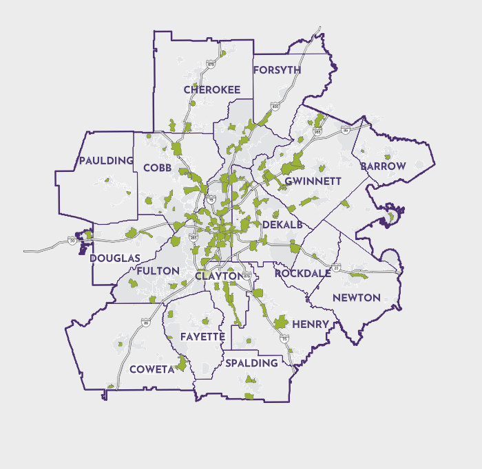
![]()
Atlanta Regional Commission LCI 25 Year Impact Report StoryMap
-
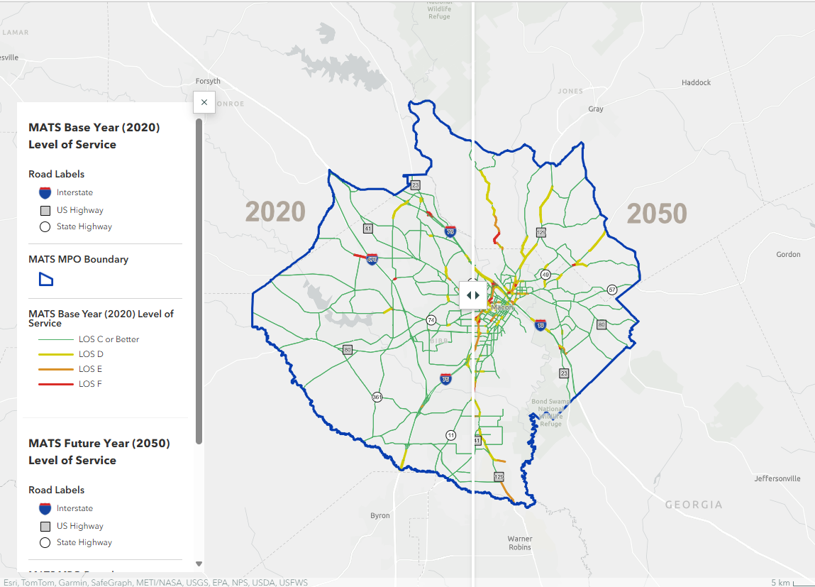
![]()
Macon Area Transportation Study (Macon MPO) 2050 Freight Plan StoryMap
-
![]()
City of Milton Safe Streets for All Social Pinpoint Survey with interactive mapping