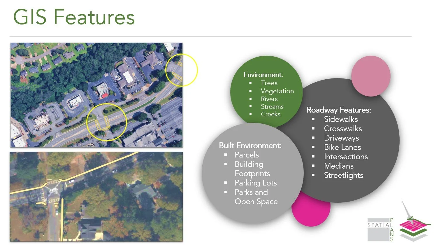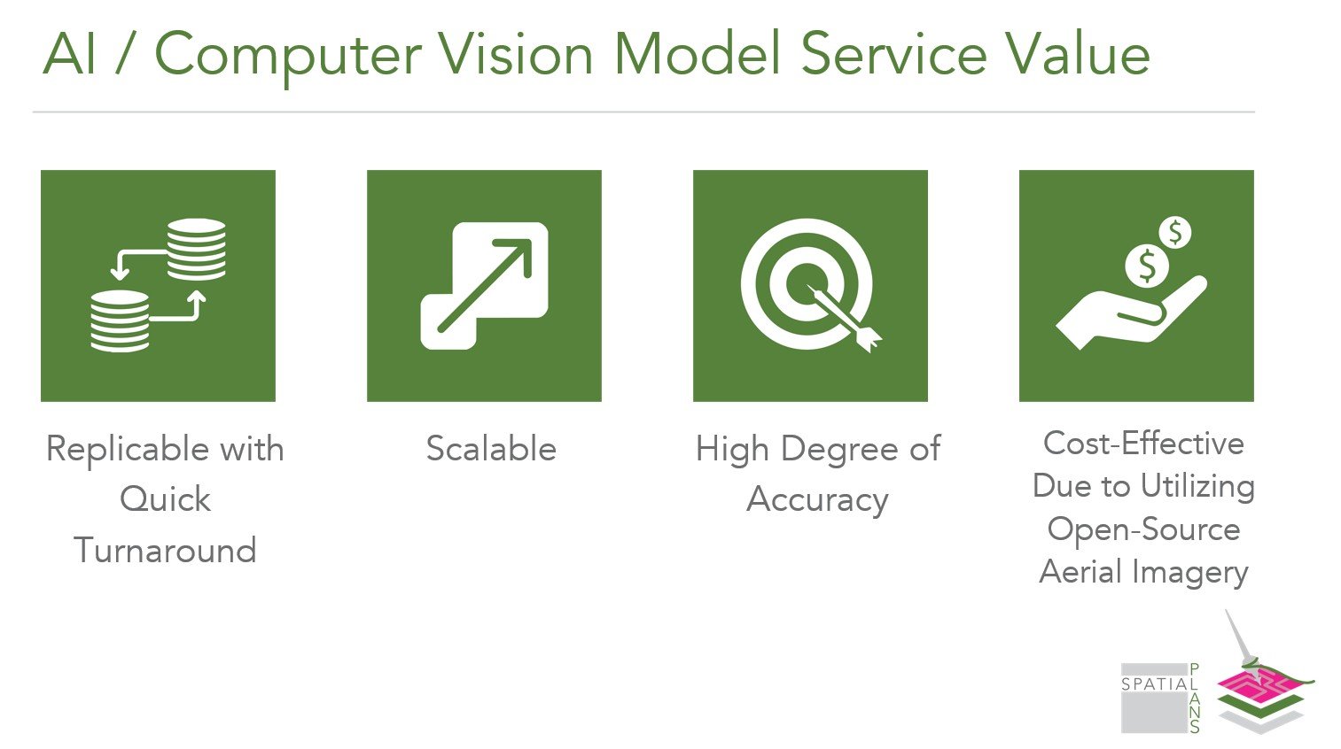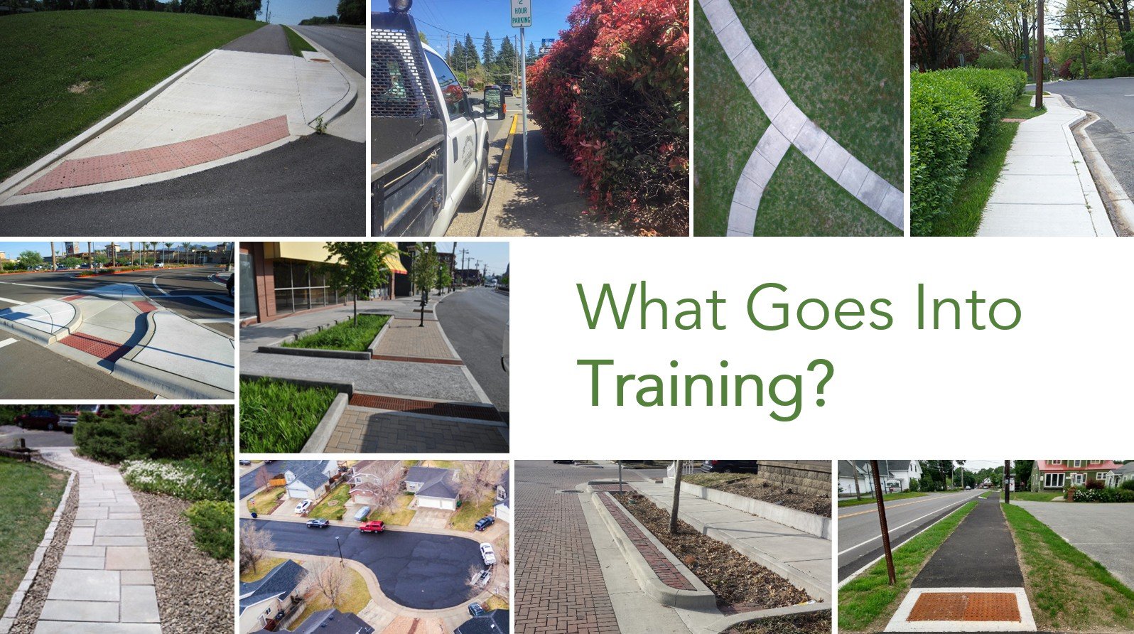


SpinDLE is a GIS/Computer Vision (AI-enabled) model that identifies and extracts features from aerial imagery and exports them to GIS layers at scale with speed and accuracy. AI allows SpinDLE to replace the manual process of digitizing sidewalks, crosswalks, and any other feature of the built or natural environment that is time and cost intensive.