
-
Transportation Planning
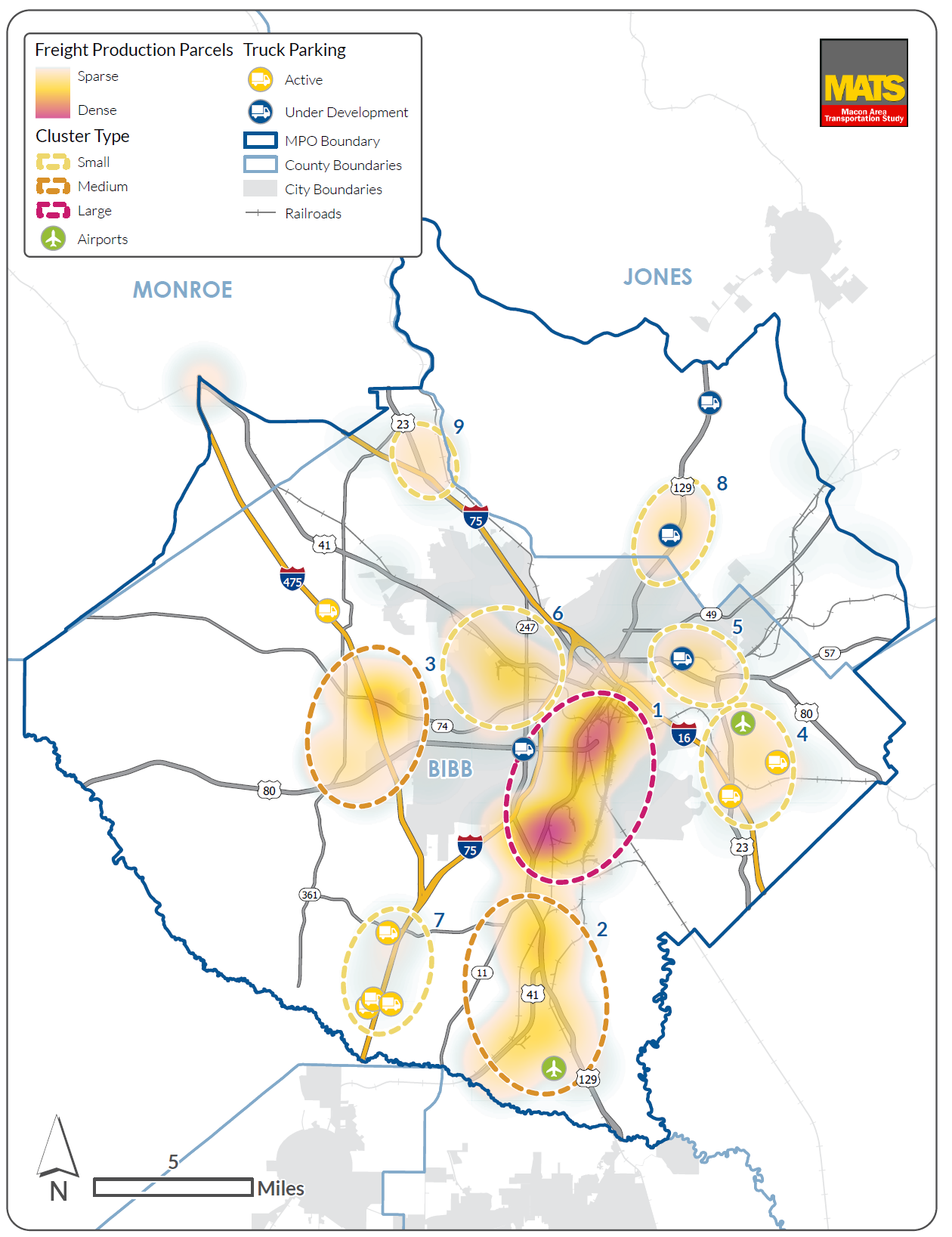
long range plans, freight plans, SS4A
-
Transit Planning
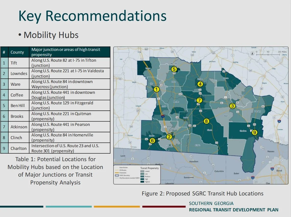
transit development plans
-

Geographic Information System (GIS) Services
complex analysis and interactive and static mapping products including StoryMaps, Survey 123, Field Maps, Dashboards, etc..
-
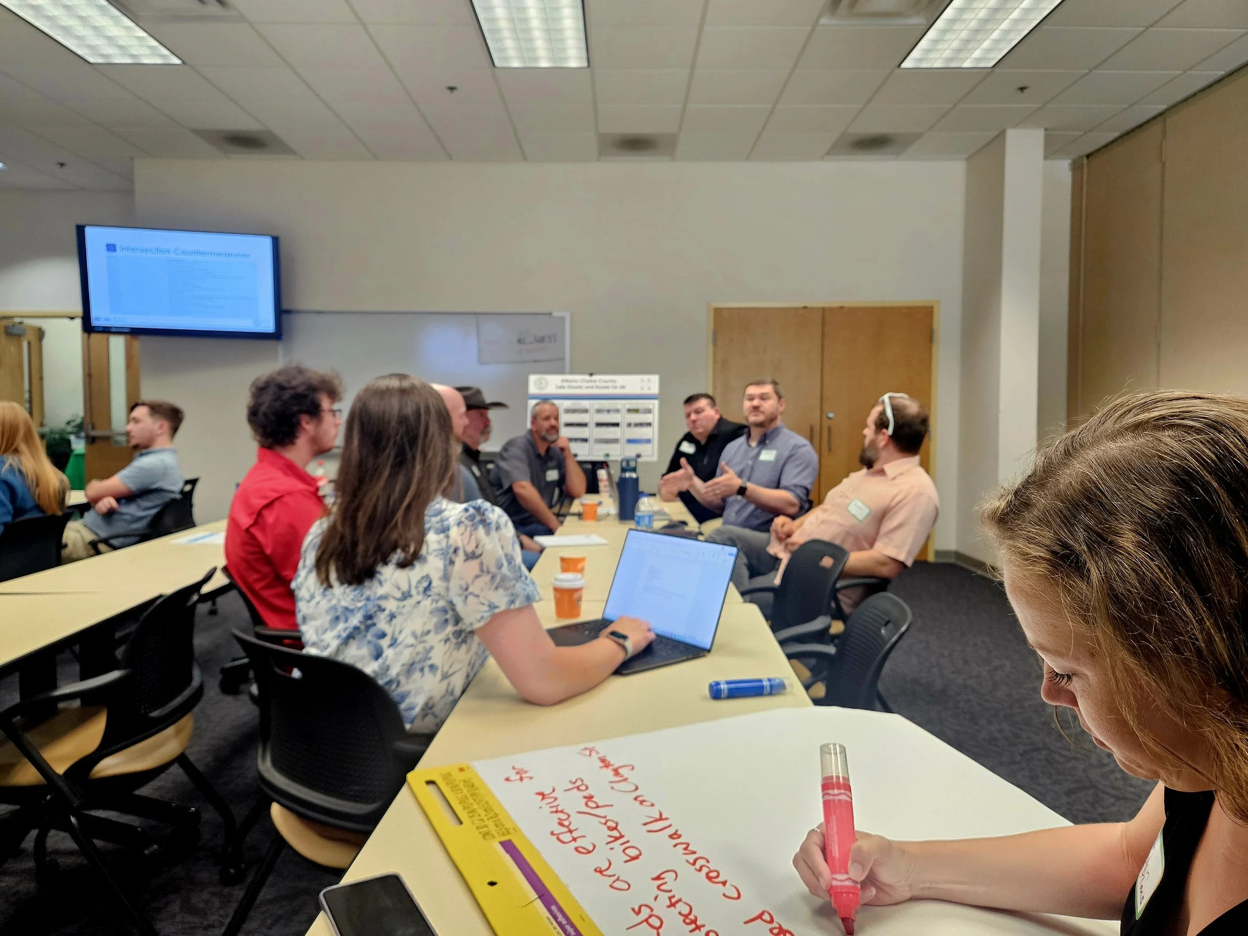
Stakeholder and Community Engagement
in-person and virtual engagement